
Broken Bow sits at the doorstep of one of the most underrated stretches of wilderness in the country. Within an easy morning’s drive, the pine ridges of the Ouachita National Forest open up into scenic byways, quiet waterfalls, ridge-top overlooks, and clear mountain streams that most travelers never realize are just up the road from their cabin.
At Three Creeks Reserve, our guests often ask for a day plan that lets them see the “big” Ouachitas without sacrificing an evening back in the hot tub. This guide is our answer. It brings together the classic anchors like the Talimena Byway, the quieter spots most first-timers skip, and the practical logistics that make a Ouachita National Forest day trip from Broken Bow feel effortless.
Why Take a Day Trip into the Ouachita National Forest
The Ouachita National Forest covers roughly 1.8 million acres across southeastern Oklahoma and western Arkansas, making it the oldest and largest national forest in the southern United States. What makes it a natural pairing with Broken Bow is geography: the same ridge system that shapes Broken Bow Lake and the Mountain Fork River runs directly north into the higher Ouachita peaks. You do not have to cross the country to get real mountain scenery. You just have to point the car north on US-259.
A well-planned day trip from Broken Bow lets you sample three signature Ouachita experiences in a single loop: a scenic ridge drive, a short-to-moderate hike, and a swim or paddle in cold, clear water. The stops below are grouped by drive time so you can build your day around how much time you actually want behind the wheel.
Close to Home: Ouachita Foothills Near Broken Bow (0 to 45 Minutes)
If you want the “national forest” feel without a long drive, start in the foothills that surround Broken Bow Lake and the Mountain Fork River. Technically most of this immediate area is Beavers Bend State Park land nested inside the Ouachita foothills, but the terrain, wildlife, and forest character are exactly what you came for.
Beavers Bend State Park
The natural launch point for any Ouachita-oriented day trip. Trails range from easy nature-center loops to strenuous ridge climbs, and the park sits directly on Broken Bow Lake and the Mountain Fork River, so you can pair a morning hike with an afternoon on the water.
- Rating: 4.8 stars (5,237 reviews)
- Address: 4350 OK-259A, Broken Bow, OK 74728
- Hours: Open 24 hours
- Phone: (580) 494-6300
- Good for: First stop of the day, trail intel, restrooms, and picnic supplies
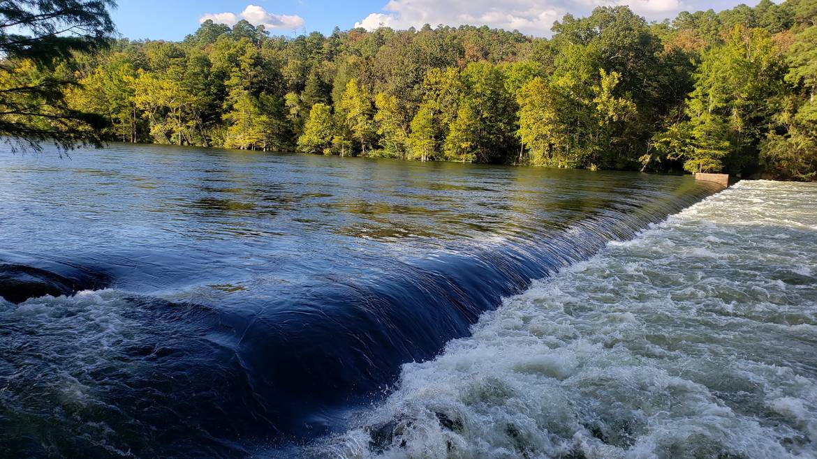
Broken Bow Lake
Roughly 14,000 surface acres of clear reservoir water tucked into steep, forested Ouachita ridges. Even if your day is aimed at the forest, a quick lake stop resets the pace, especially in summer when a swim is welcome after a hike.
- Rating: 4.8 stars (314 reviews)
- Address: Broken Bow Lake, Oklahoma
- Good for: Paddling, swimming, boat rentals, sunset photos
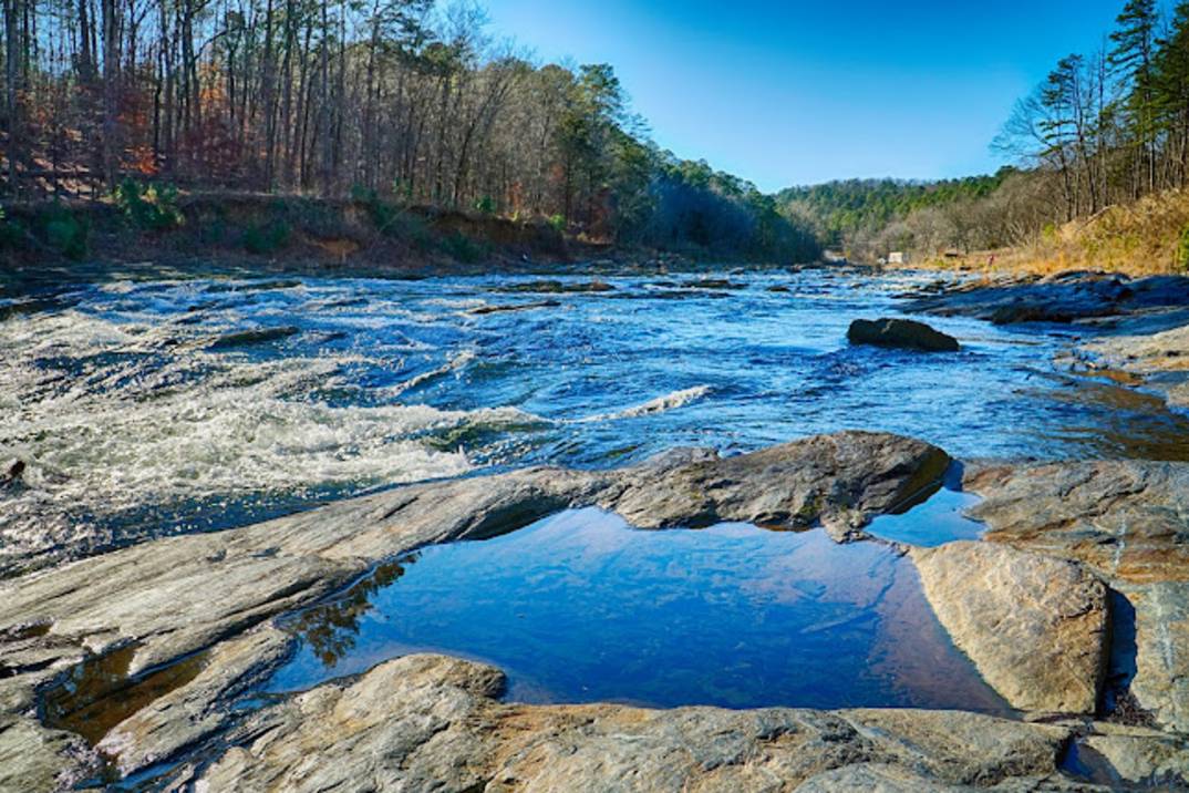
Mountain Fork River
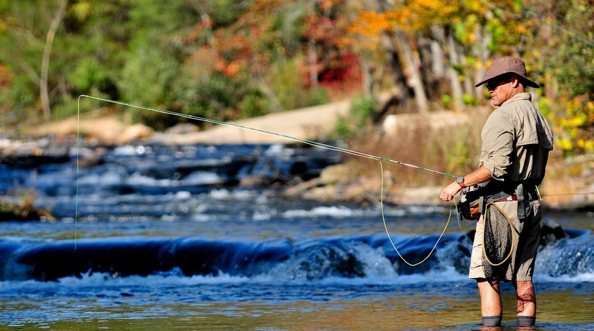
The cold, spring-fed Mountain Fork flows out of Broken Bow Lake and cuts through the foothills. The lower stretch is a year-round trout fishery, and the current-fed pools are prime spots to cool off between forest stops.
- Rating: 4.8 stars (143 reviews)
- Address: Mountain Fork River corridor, southeast Oklahoma
- Good for: Fly fishing, easy river walks, riverside picnics
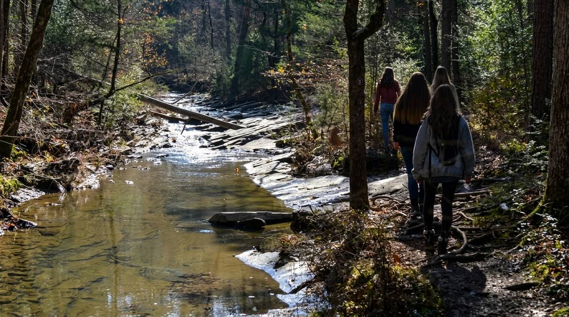
Cedar Bluff Trailhead
A short-but-satisfying hike right on the Ouachita edge of Beavers Bend, with a loop of overlook points that pay off with far-reaching ridge views. Locals often use it as a warm-up or a quick pre-breakfast outing.
- Rating: 4.6 stars (48 reviews)
- Address: Broken Bow, OK 74728
- Length: Loop, roughly 60 to 90 minutes at an easy pace
- Good for: A quick “real forest” experience before lunch
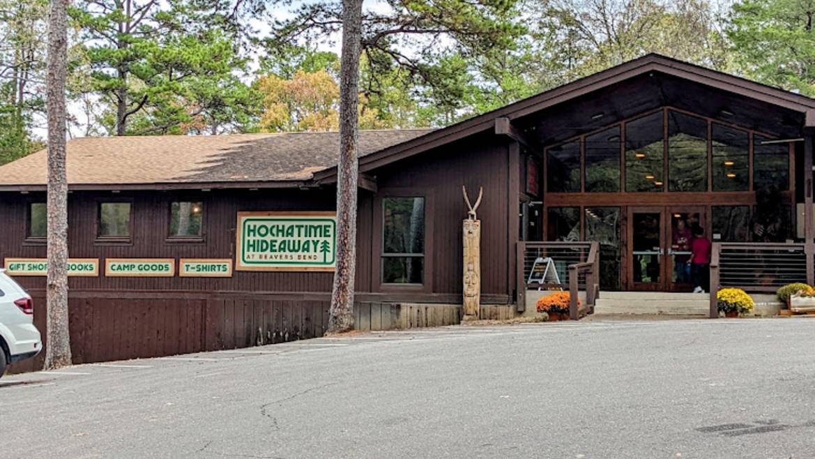
Beaver’s Bend Forest Heritage Center
Not a trail, but a strategically useful stop. The Heritage Center is where staff hand out the best trail maps in the region and often share which forest roads are passable that week. Twenty minutes here early in the day can save you an hour of guessing later.
- Rating: 4.7 stars (1,439 reviews)
- Address: 4350 OK-259A, Broken Bow, OK 74728
- Hours: 8 AM to 5 PM daily
- Phone: (580) 494-6497
- Good for: Trail intel, museum break, souvenirs
Into the Higher Ouachitas: Signature Scenic Drive and Ridge Hikes (1.5 to 2 Hours from Broken Bow)
If you have most of a day and want the big-mountain payoff, drive north on US-259 toward Talihina. This is where the Ouachitas open up into ridge after ridge of long-range views. Budget roughly 1.5 to 2 hours each way and pack a real lunch.
Talimena National Scenic Byway
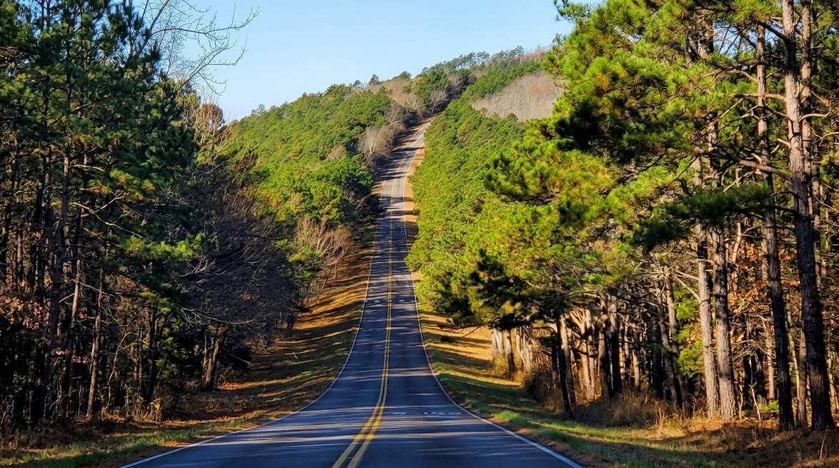
The headline scenic drive of the region. Fifty-four miles of ridge-top pavement runs east to west from Talihina, Oklahoma to Mena, Arkansas along the crests of the Winding Stair and Rich Mountains, entirely within Ouachita National Forest. Signed overlooks are frequent, most with room to park, stretch, and take photos.
- Rating: 4.7 stars (469 reviews)
- Address: OK-1 Scenic, Talihina, OK 74571
- Website: talimenadrive.com
- Best season: Mid-October through early November for peak fall color
- Good for: Photography, easy roadside walks, sunrise or sunset
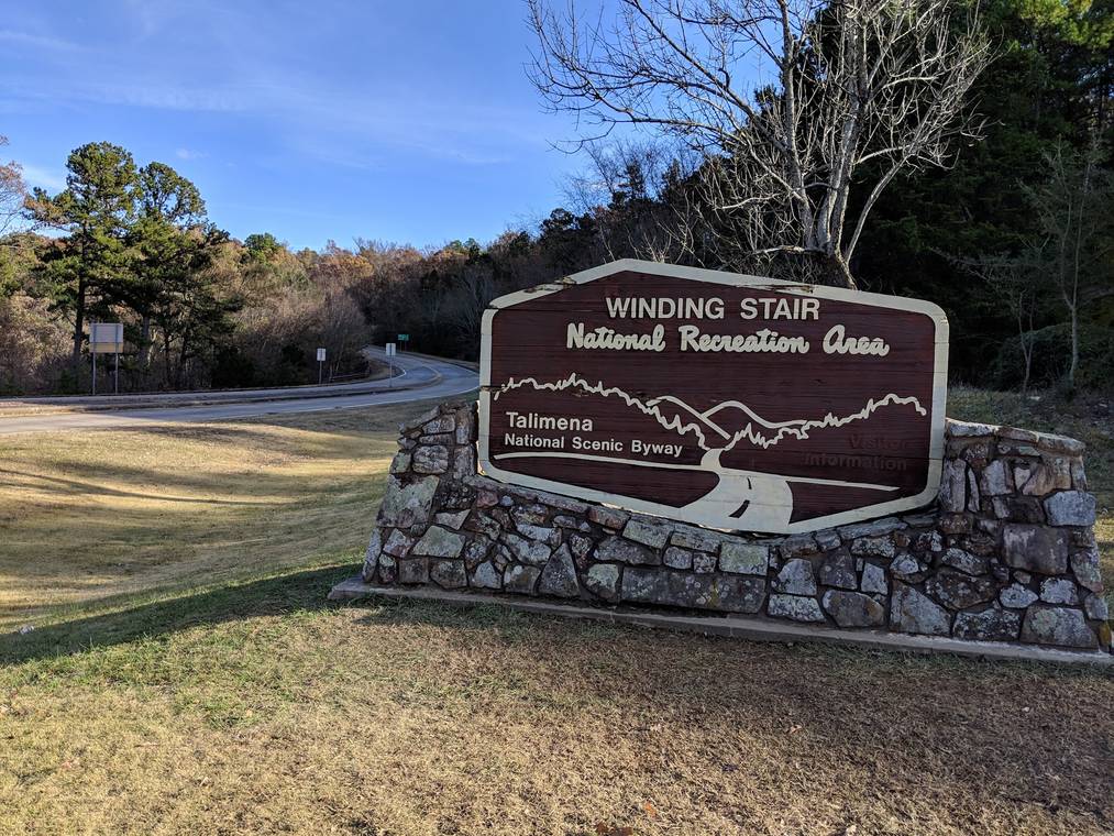
Winding Stair Mountains
The Winding Stair area sits along the western end of the Talimena Byway and is one of the finest short-hike zones in the Ouachitas. Multiple pull-offs give you access to segments of the 223-mile Ouachita National Recreation Trail, and you can pick a 3 to 6 mile out-and-back to match your time and fitness.
- Rating: 5.0 stars (10 reviews)
- Address: Winding Stair Mountains, Oklahoma 74939
- Good for: Ridge hiking, fall foliage, picnic pull-offs
Waterfalls and Wild Water on the Arkansas Side (2 to 3 Hours from Broken Bow)
The Arkansas side of the Ouachita National Forest is where the wilderness really opens up. It is a longer day, but if you leave early and pack a picnic, two of the most photogenic waterfalls in the region are absolutely within reach.
Little Missouri Falls
A short, easy walk into a series of stepped cascades and turquoise pools tucked into deep pine forest. It regularly shows up on “hidden gems of Arkansas” lists and lives up to the reputation. Bring water shoes if you plan to wade.
- Rating: 4.8 stars (694 reviews)
- Address: AR-369, Langley, AR 71952
- Phone: (870) 867-2101
- Hours: Open 24 hours
- Good for: Photography, swimming holes, easy family hike
Albert Pike Recreation Area
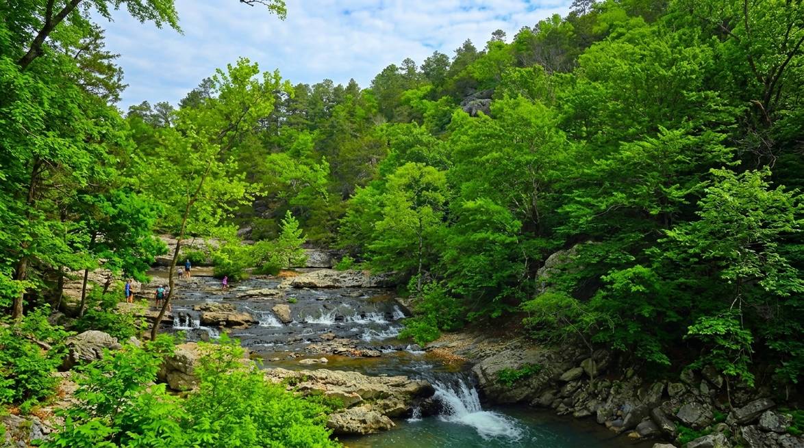
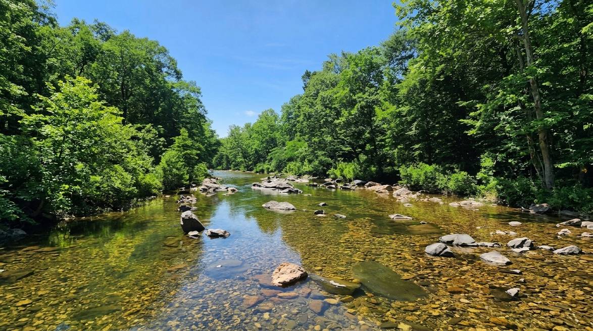
Roughly 45 minutes past Little Missouri Falls, Albert Pike is a quiet Ouachita river-valley setting where the water runs shallow and clear over a rocky bed. Camping is limited in parts of the area, but the day-use zones remain a peaceful place to picnic and cool off.
- Rating: 4.7 stars (403 reviews)
- Address: NFW 106, Umpire, AR 71971
- Phone: (870) 867-2101
- Good for: Fall foliage, quiet swimming, picnic stop on the way back
Lake Ouachita
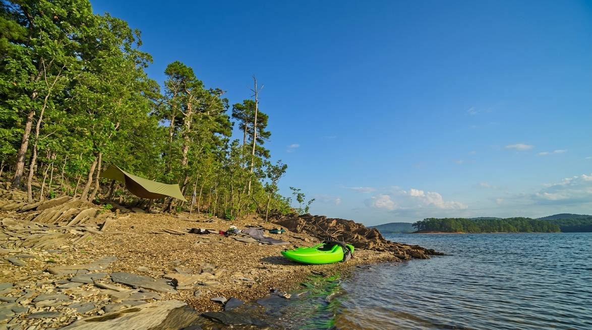
The largest lake fully contained within Arkansas, Lake Ouachita is famously clear. It is often ranked among the cleanest lakes in the country and is dotted with more than 200 islands. It is at the far edge of a Broken Bow day trip, but pairs well with the Arkansas waterfall stops as a scenic turnaround.
- Rating: 4.8 stars (355 reviews)
- Address: Lake Ouachita, Arkansas
- Good for: Turnaround photo stop, island paddling for boaters, clear-water swimming
Three Sample Day-Trip Itineraries
Rather than pick every stop above, plan around one of these three loops. Each one leaves Three Creeks Reserve after breakfast and puts you back on the deck by early evening.
1. Foothills and lake day (easy pace, 6 to 7 hours out).
Beavers Bend Forest Heritage Center for a map, then Cedar Bluff Trailhead for a short hike, then Mountain Fork River for a picnic and river walk, then Broken Bow Lake for an afternoon swim or paddle. Great for families or first-time visitors.
2. Talimena scenic loop (moderate pace, 8 to 9 hours out).
Drive US-259 north to Talihina, catch the Talimena National Scenic Byway east, stop at three or four overlooks, hike a short segment of the Ouachita National Recreation Trail in the Winding Stair Mountains, and drive back through the Kiamichi corridor. Best on a clear day, especially in October or early November.
3. Arkansas waterfall day (long day, 10 to 11 hours out).
Leave at first light. Drive east across the state line to Little Missouri Falls, then continue to Albert Pike Recreation Area for a river-side picnic. If you have time, tack on a Lake Ouachita turnaround before heading back. This is a big day. Pack a real lunch, water, and a change of clothes.
Practical Tips for a Ouachita National Forest Day Trip
- Leave early. The most rewarding stops are 1.5 to 3 hours from Broken Bow. A 7:00 AM departure gives you cool morning hiking temperatures and better light for photography.
- Fuel up in Broken Bow or Hochatown. Gas stations get sparse once you head north into the forest corridor, and even sparser on the Arkansas side.
- Download offline maps. Cell service disappears in much of the forest. Grab an offline map of southeast Oklahoma and southwest Arkansas in your maps app before you leave the cabin.
- Bring water shoes. Nearly every water stop, from the Mountain Fork River to Little Missouri Falls, has a rocky bed. Water shoes turn a slippery walk into an easy wade.
- Layer up in spring and fall. Ridge-top temperatures on the Talimena Byway can run 10 to 15 degrees cooler than lakeside Broken Bow.
- Watch the sky in summer. Afternoon thunderstorms roll through quickly. Aim to be off exposed ridges by mid-afternoon in July and August.
- Pack food. There are almost no restaurants inside the forest. A cooler with sandwiches, fruit, and cold drinks makes a big difference.
- Be bear aware. Black bears live in the Ouachita National Forest. Encounters are rare, but do not leave food unattended at picnic areas or trailheads.
When to Go
Spring (March through May): Wildflowers along the byway, dogwood in bloom in the foothills, cool-morning hiking, and rivers running high. Bring a rain shell.
Summer (June through August): Hot in the foothills and comfortable on the higher ridges. Best window for swimming holes, paddling, and river floats. Start early to beat afternoon heat and storms.
Fall (mid-October through early November): The best time of year to drive the Talimena Byway and hike the Winding Stair ridges. Book your cabin early. Cabins in Broken Bow and along the byway fill quickly.
Winter (December through February): Quiet, moody, and beautiful. Waterfalls run strong after rain, and the trails have very few people on them. Watch for icy patches on the byway.
Ready When You Are
The Ouachita National Forest is the kind of place that quietly stays with you long after you drive home. Whether you plan a laid-back foothills loop or an ambitious Arkansas waterfall run, the trip works best when your base camp is close enough that you are on the trail before the crowds and back in the hot tub before dark.
Reserve your cabin at Three Creeks Reserve and let us help you plan the day-trip loop that matches your pace.
Frequently Asked Questions
How far is the Ouachita National Forest from Broken Bow?
The southern edge of the Ouachita National Forest touches the Broken Bow area directly. The signature “big-mountain” stops like the Talimena National Scenic Byway and the Winding Stair Mountains are roughly 1.5 to 2 hours north by car, and the top Arkansas waterfalls are about 2 to 3 hours east.
Is a Ouachita day trip from Broken Bow worth it?
Yes, especially for anyone who loves scenic drives, waterfalls, or ridge hikes. The Talimena Scenic Byway alone is regularly cited as one of the most beautiful drives in the southern United States, and it is easily paired with a shorter foothills hike near Beavers Bend.
What is the best time of year for a Ouachita National Forest day trip?
Fall (mid-October through early November) is the most popular window because of the foliage on the Talimena Byway. Spring and early summer are excellent for waterfalls and swimming holes when water levels are high.
Do I need a permit or entrance fee for the Ouachita National Forest?
Day hiking on the Ouachita National Recreation Trail and most day-use areas does not require a permit or entry fee. Some recreation areas may charge a small per-vehicle day-use fee. Beavers Bend State Park has separate parking pass rules, so check current signage on arrival.
Are there bears in the Ouachita National Forest?
Yes, black bears are present but sightings are uncommon. Store food in the car at trailheads, keep dogs leashed, and never leave a picnic unattended.
Can I do the Talimena Scenic Byway as a day trip from Broken Bow?
Yes. Plan on 1.5 to 2 hours to reach the western entrance near Talihina, another 2 to 3 hours to enjoy the byway with stops, and 1.5 to 2 hours back. That works out to a full but very manageable day.